%201.svg)


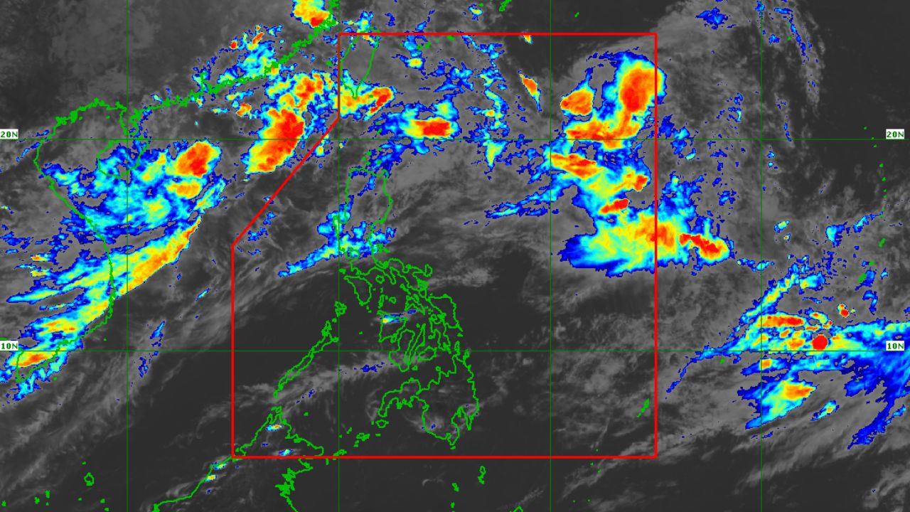
MANILA, Philippines — Pilandok has intensified into a tropical storm, but no Tropical Cyclone Wind Signal has been raised over any part of the country, according to PAGASA.
In its 11AM bulletin on Tuesday, September 1, PAGASA said Tropical Storm Pilandok, with the international name Krovanh, was packing maximum sustained winds of 65 kilometers per hour near the center and gustiness of up to 80 kph.
The center of the storm was located about 1,060 kilometers east of Extreme Northern Luzon and was moving almost stationary.
PAGASA said Pilandok remains unlikely to make landfall and is expected to stay far from the Philippine landmass. The weather bureau forecasts the storm to exit the Philippine Area of Responsibility by Thursday morning based on its latest track.
Despite Pilandok staying offshore, the Southwest Monsoon or Habagat will continue to bring strong to gale-force gusts over most of Luzon and the Visayas, as well as parts of Mindanao including Zamboanga del Norte, Misamis Occidental, Lanao del Norte, Misamis Oriental, Camiguin, Dinagat Islands, Davao Occidental and Davao Oriental.
A gale warning also remains in effect over the northern and western seaboards of Northern Luzon.
PAGASA advised the public and local disaster risk reduction offices to continue monitoring weather advisories and take precautionary measures in areas vulnerable to heavy rains, strong winds and rough seas.

















.jpg)